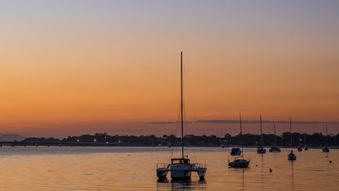
Pumicestone Passage catchment

The Pumicestone Passage catchment receives freshwater inflows from a network of streams.
The passage is 35 kilometres long from the tip of Bribie Island near Caloundra to Deception Bay. The narrow and shallow passage separates Bribie Island from the mainland.
It is a regional aquatic playground, attracting thousands of locals and visitors yearly.
Enjoy fishing, paddle boarding, kayaking, and swimming in the beautiful waters of the passage. From boating to birdwatching, there is something for everyone.
View a map of the Pumicestone Passage catchment(PDF, 532KB).
Moreton Bay Marine Park
The passage is part of the Ramsar-listed Moreton Bay Marine Park.
It is one of the most important bird and marine habitats on the East Coast of Australia. This is due to the environmental diversity of the passage.
The park is home to hundreds of species of plants, birds, and marine life. This includes 24 species of migratory shorebirds and 11 species of shorebirds. It is a significant feeding ground for green and loggerhead turtles. It is also a foraging and breeding ground for dugong.
It is also a declared fish habitat area and a high-value waterway under state legislation.
Pumicestone Passage Catchment Action Plan
City of Moreton Bay, Sunshine Coast Council, and more than 30 groups are working together to improve the health of the passage and its catchment.
The creation of the Pumicestone Passage Catchment Action Plan is in response to several issues. These include declining water quality, loss of wildlife habitat and population growth.
The plan features 32 projects to improve the health of the passage and catchment area.
Find out more about the action plan(PDF, 5MB).